Aim for the sky

This year marks a decade since Scion – now part of the Bioeconomy Science Institute – adopted unmanned aerial vehicles (UAVs) as a research tool, forging a path towards more effective forest management.
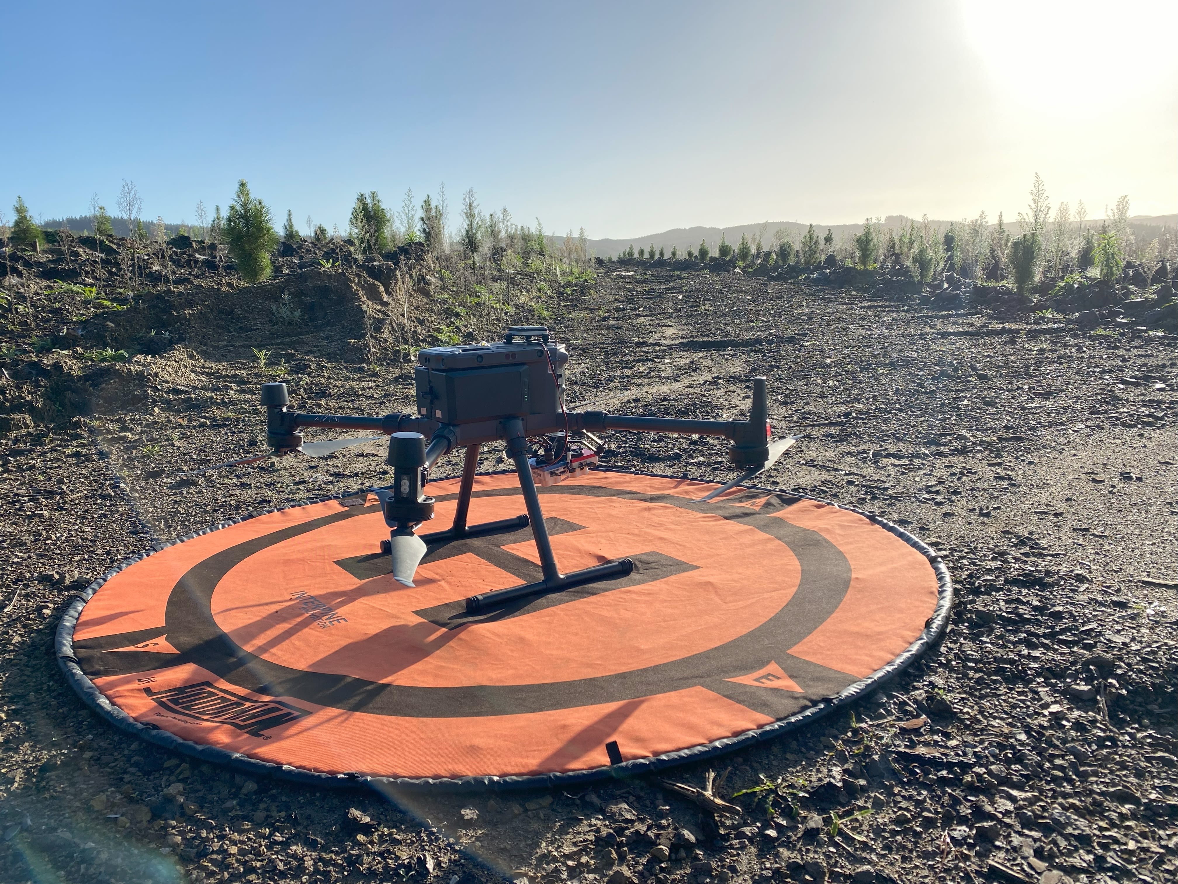
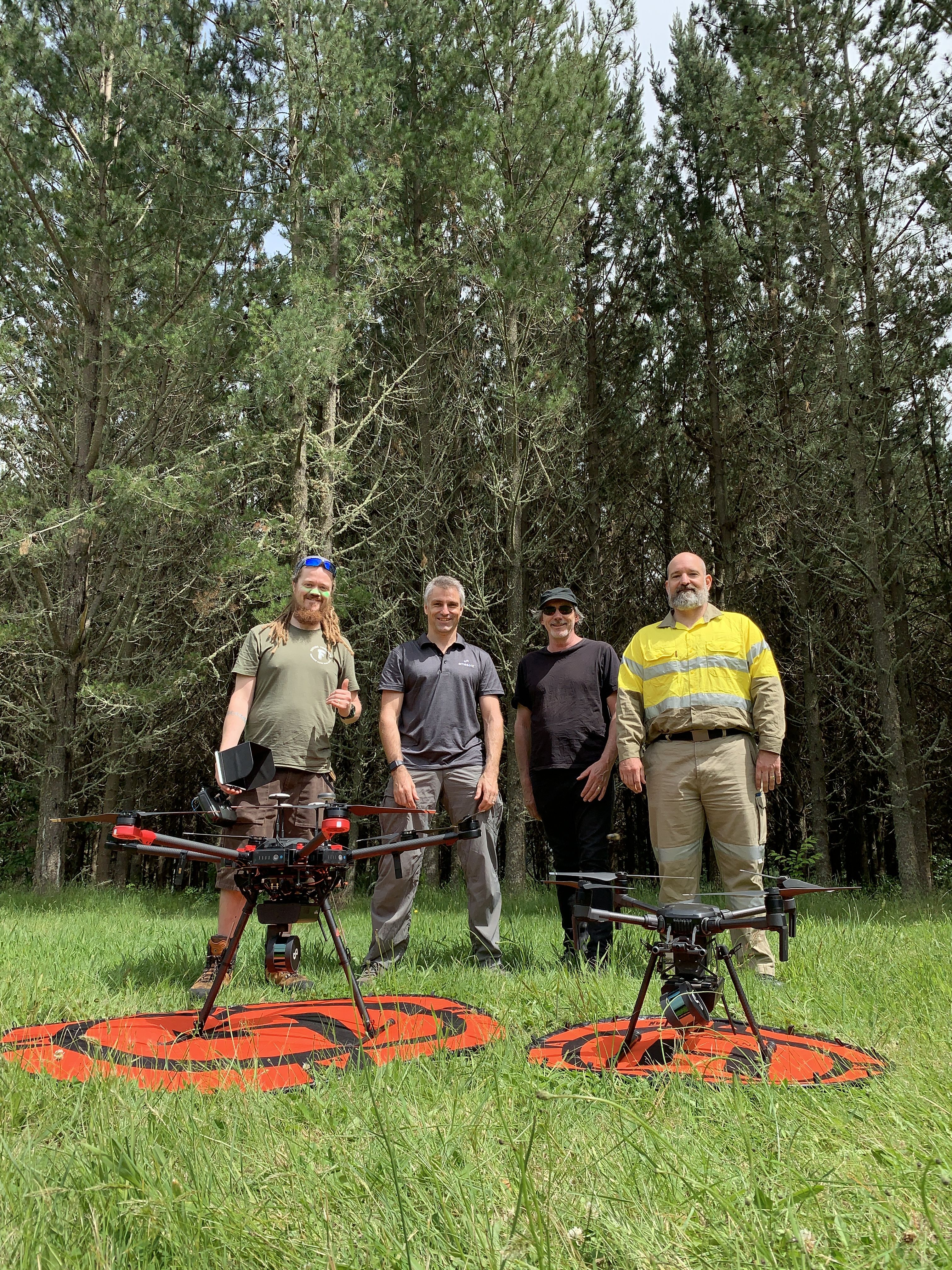
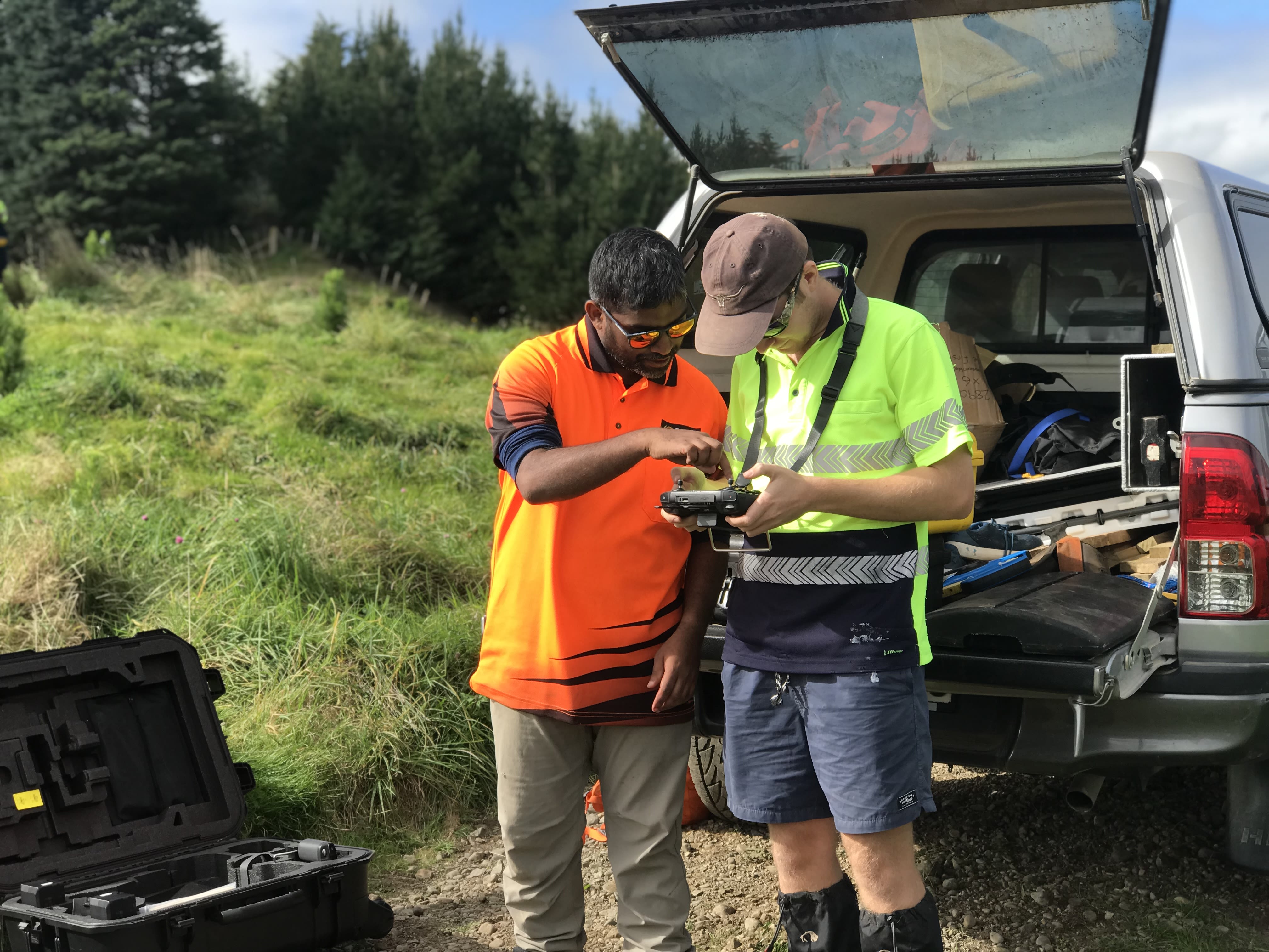
A pioneer in the field of UAV research, Scion bought its first drone in February 2015. UAVs have since become a key tool for aerial data capture, for use in high-definition mapping and monitoring of forests.
Today the Bioeconomy Science Institute also uses them for 3D modelling, sample collection, sub-canopy data captures and various types of imaging across multiple programmes.
"UAVs changed my career path. I went from being a complete technophobe, working in the bush and being suspicious of my Windows phone, to being a scientist helping others leverage technology in their work."
- Robin Hartley, senior scientist, Bioeconomy Science Institute.
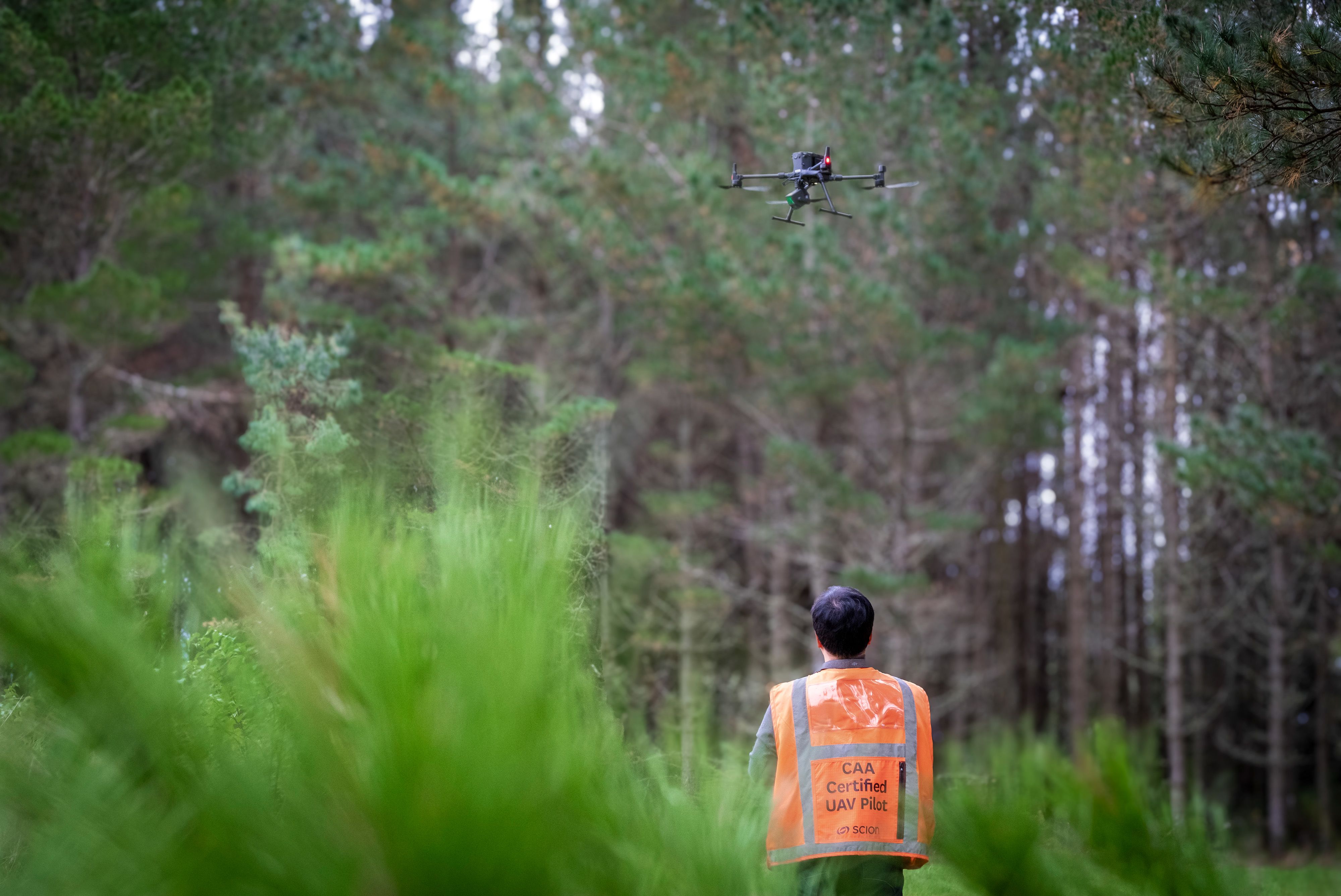
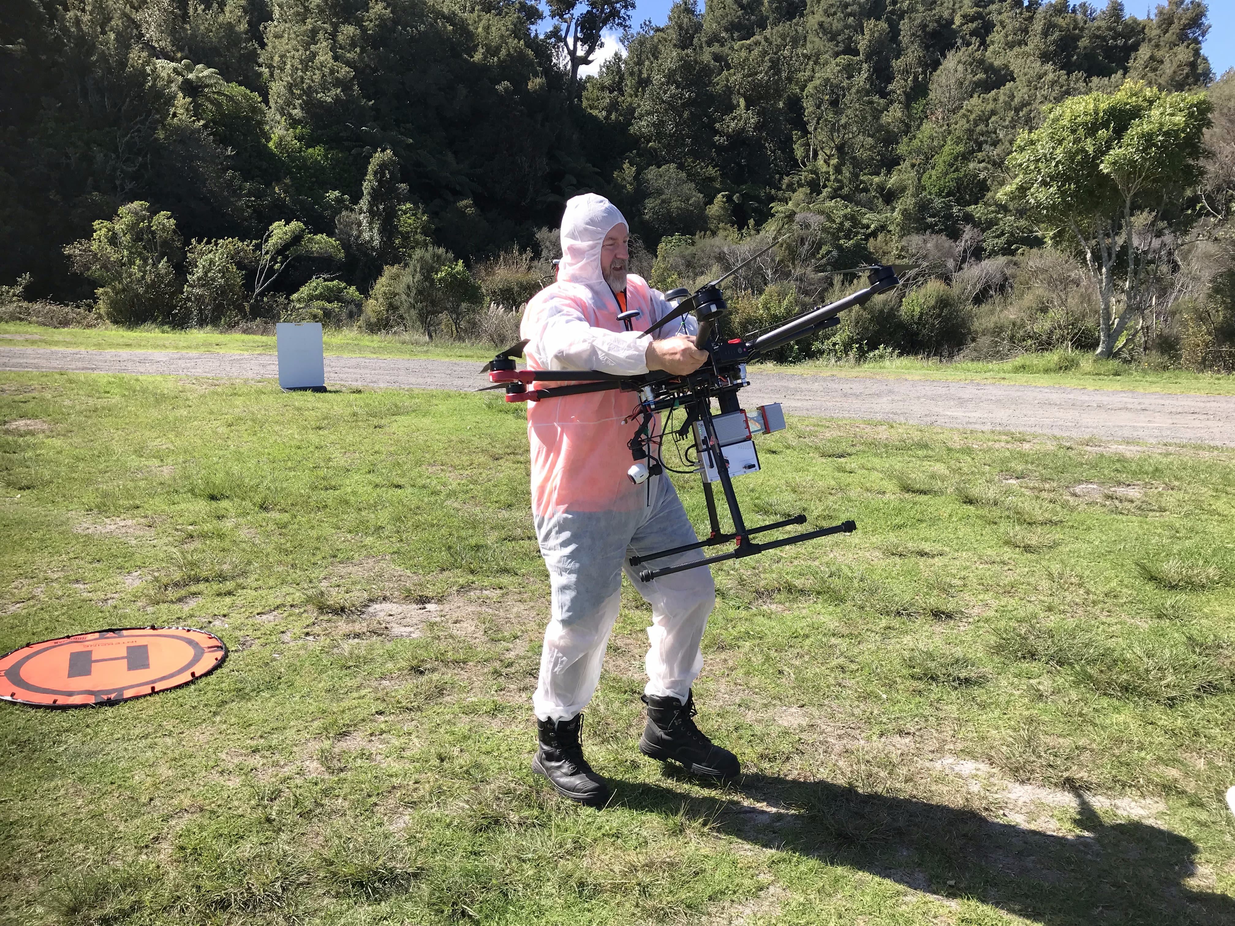
The Bioeconomy Science Institute has Civil Aviation Authority Part 102 higher tier certification, which enables it to undertake UAV activity outside what standard operational licences allow.
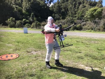
Senior scientist Robin Hartley says UAVs add a lot of value to the organisation's research. “We regularly capture high-definition LiDAR for measuring trees. We can get ultra high-resolution maps of stands and trials. We are capturing spectral and thermal data to understand more about tree physiology remotely and we’re working with companies to develop UAV spray systems specific to forestry needs.
“There's plenty of potential for UAVs to be used for other purposes within research and commercial forest management, too, such as forest inventory, phenotyping and manual applications including spraying and planting."

The Bioeconomy Science Institute is exploring niche areas such as sub-canopy flying for characterising stem and branch structure and collecting upper canopy samples.
Its autonomous systems team works across the organisation and the wider industry to enable others to adopt UAV technologies.

It all started in 2012, when research group leader David Pont was a scientist monitoring the development of UAVs and miniaturised laser scanning technologies.

By 2015 a commercially available scanner had been matched to a drone from Aeronavics, a NZ-based UAV company working in the Hollywood film industry.
At the time, a geomatics team was being formed at Scion that comprised scientists with expertise in airborne LiDAR. A state-of-the-art LidarPOD weighing 3kg was bought from Scotland, and the Scion team ordered the largest UAV they could find to carry it.
This UAV gave the organisation a modern new way to laser scan forest stands.

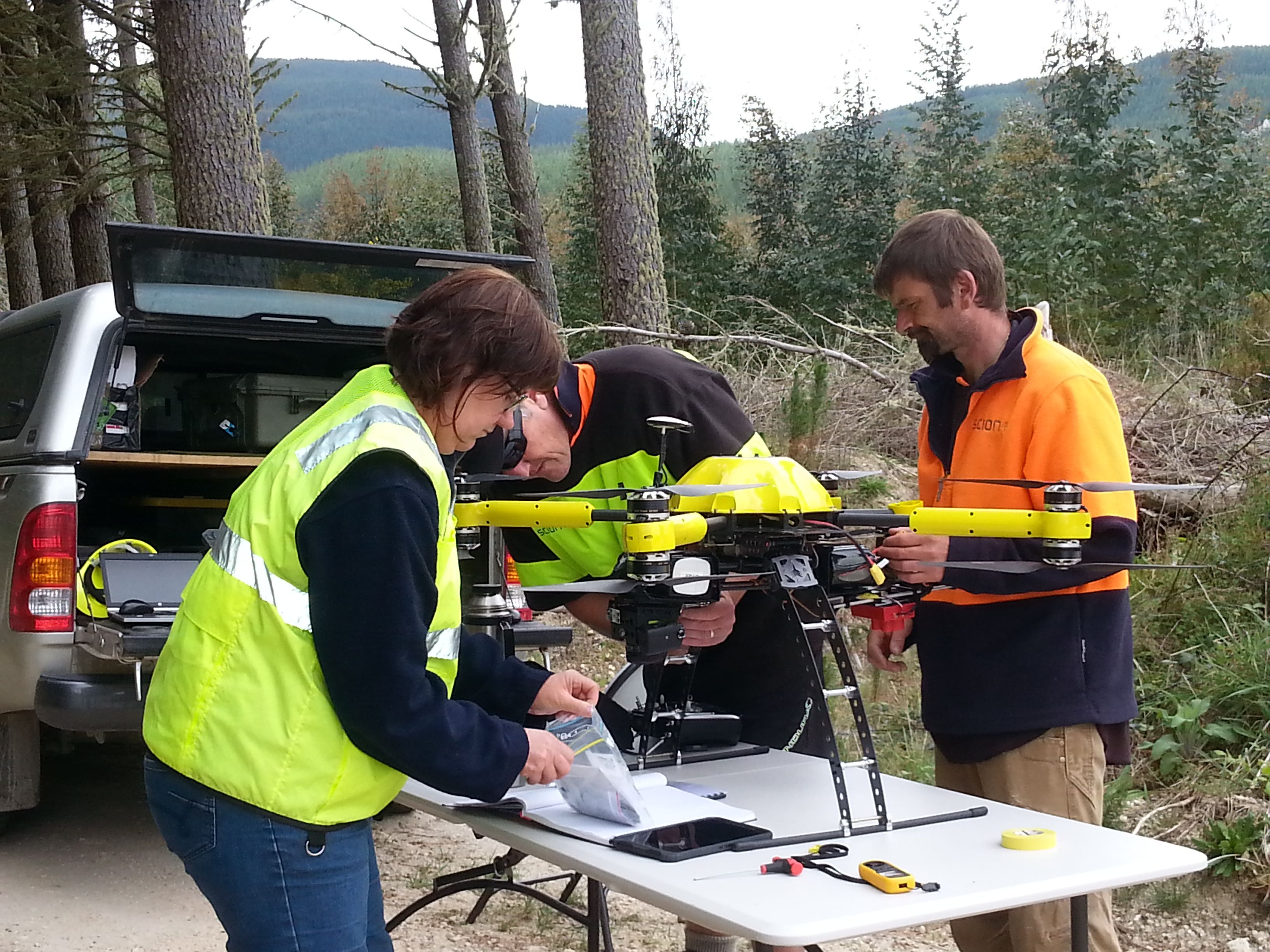
Scion staff Marie Heaphie (who has since left the organisation), Toby Stovold and Kane Fleet learned to fly a small UAV, which meant when the larger craft arrived they were ready to deploy it for forestry research.
Scion staff Marie Heaphie (who has since left the organisation), Toby Stovold and Kane Fleet learned to fly a small UAV, which meant when the larger craft arrived they were ready to deploy it for forestry research.
“Our persistence in UAV research and operations turns today’s challenges into tomorrow’s precision tools for forestry and the environment.”
- Kevin Park, Bioeconomy Science Institute autonomous systems specialist

The wider industry took notice as the technology continued to develop. Several forestry companies have since invested in trials and built their own in-house UAV capacity.
The strong industry adoption was highlighted in a 2020 study that showed 83 percent of forestry companies in NZ use UAVs to capture aerial imagery, compared to none in an earlier 2013 survey.
"The Bioeconomy Science Institute's work with UAVs has helped shape how Timberlands has used the technology in forest management operations. It has also helped us see what was possible with drone technology – from precision aerial mapping to advanced canopy analysis – and gave us the confidence to invest in UAVs. It’s hard to imagine modern forest management without them now."
- Michael Wilson, Timberlands inventory manager.
In six years as a UAV pilot, I've learned success is not just about perfect flights. It's about solving problems in the field, adapting on the spot and trusting the technology, the data and yourself."
- Honey Jane Estarija
Bioeconomy Science Institute geospatial technician.

The Bioeconomy Science Institute also helped set up the Tools for Foresters (TFF) industry initiative, which connects researchers and foresters using UAVs in forests to share research, knowledge and resources.
This helps enhance UAV technology development and encourage adoption of these tools.
“We work with forest managers to develop systems that are relevant and cost-effective,” Robin says.
“A recent survey showed a 20 percent increase across some key UAV uses that have been developed and promoted through TFF.”

The Bioeconomy Science Institute's autonomous systems team is focused on advancing techniques for the capture and use of LiDAR, high-definition video, thermal and multi-spectral imagery. This is part of the organisation's goal to support enduring economic growth and resilience, a healthy environment and beneficial social outcomes for NZ through research and technology.
The Bioeconomy Science Institute's autonomous systems team is focused on advancing techniques for the capture and use of LiDAR, high-definition video, thermal and multi-spectral imagery. This is part of the organisation's goal to support enduring economic growth and resilience, a healthy environment and beneficial social outcomes for NZ through research and technology.
"I think we've only just scratched the surface of the positive benefits of this technology. It will have a part to play in almost every aspect of our future."
- Peter Massam, UAV operations manager


"From early GoPros to near-misses, UAVs taught us to expect the unexpected. Tarawera still tops the list for the best and most heart-stopping moments."
- Toby Stovold, Bioeconomy Science Institute technologist.